THE BLUE BELT
A vision for resilience and remediation along Michigan’s Lake Erie coastline
Ongoing research
Ongoing research
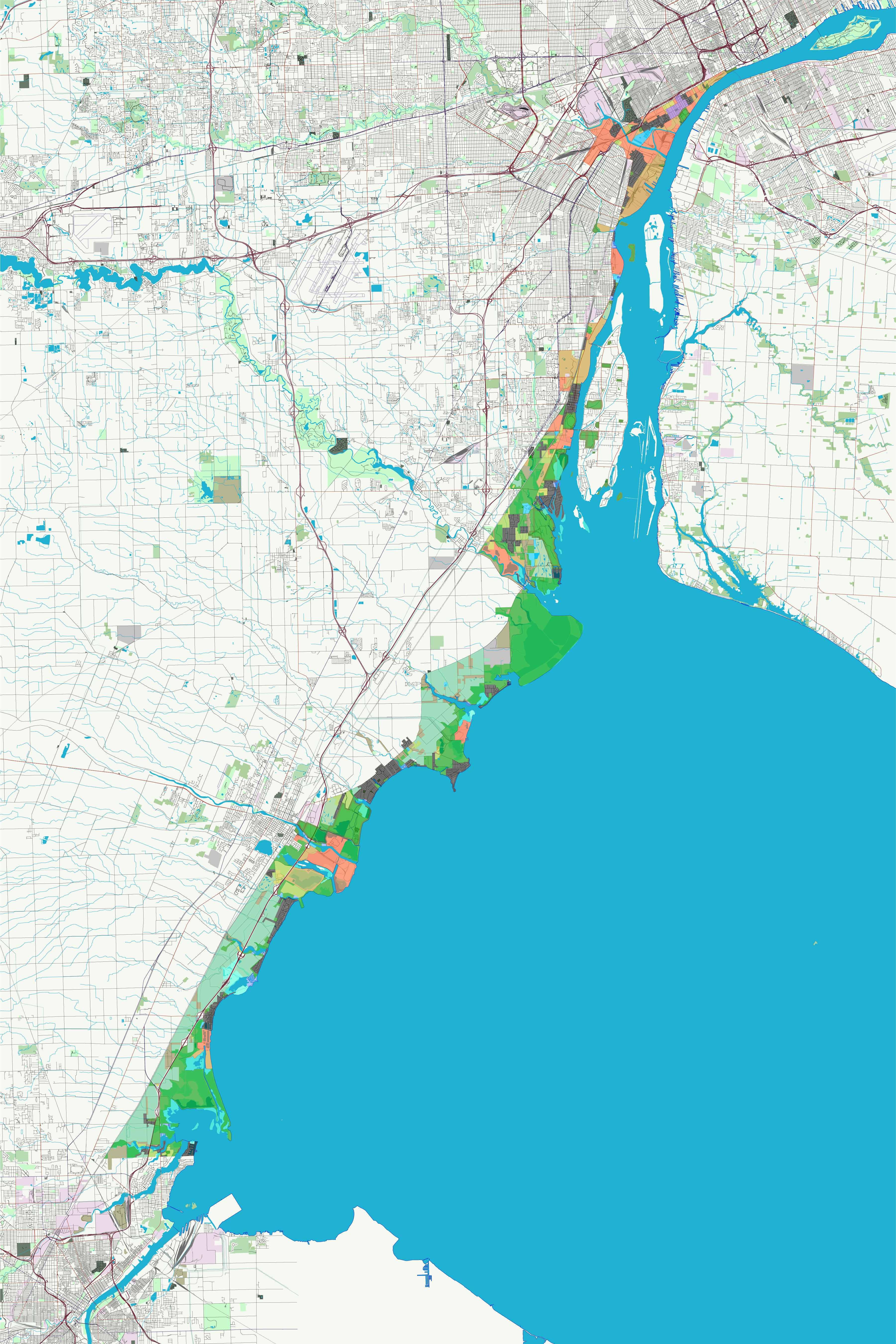
Michigan’s Lake Erie coastline is overshadowed by the larger and more picturesque coasts of Lakes Michigan, Huron, and Superior. Between Detroit and Toledo piecemeal development, large preserves of marshland, channelized estuaries are interrupted by heavy industry and brownfields, the legacy of poor planning and underappreciation for the ecological role of the coast.
The Blue Belt is a vision to aggregate parcels or conservation easements in the Detroit-Toledo corridor into a designated national lakeshore that, in time, will remediate and renew the coastal wetlands that are critical to the health and long-term ecological resiliency of Lake Erie.
The proposal would decommission energy plants that are past their lifespan or rely on unrenewable fuels, remediate brownfields and residual agricultural areas, refit existing neighborhoods and urban areas with best practices in sustainable development and building technology, and remove fixed water control infrastructure.
The proposal would decommission energy plants that are past their lifespan or rely on unrenewable fuels, remediate brownfields and residual agricultural areas, refit existing neighborhoods and urban areas with best practices in sustainable development and building technology, and remove fixed water control infrastructure.